Home > Plan Your Trip


PRE-ARRIVAL CONCIERGE OFFERINGS
We take care of everything for you and your loved ones even before you arrive at our doorstep. From notes and flowers to wine and reservations, we handle all the details so you can simply relax and enjoy your time here.
KNOW MOREGetting Here
No more stress about getting here! Our Concierge transport service will smoothly take you right to our Inn. Whether you're arriving by air or cruising along the stunning Mendocino coast by car, we've got you covered every step of the way!
KNOW MORE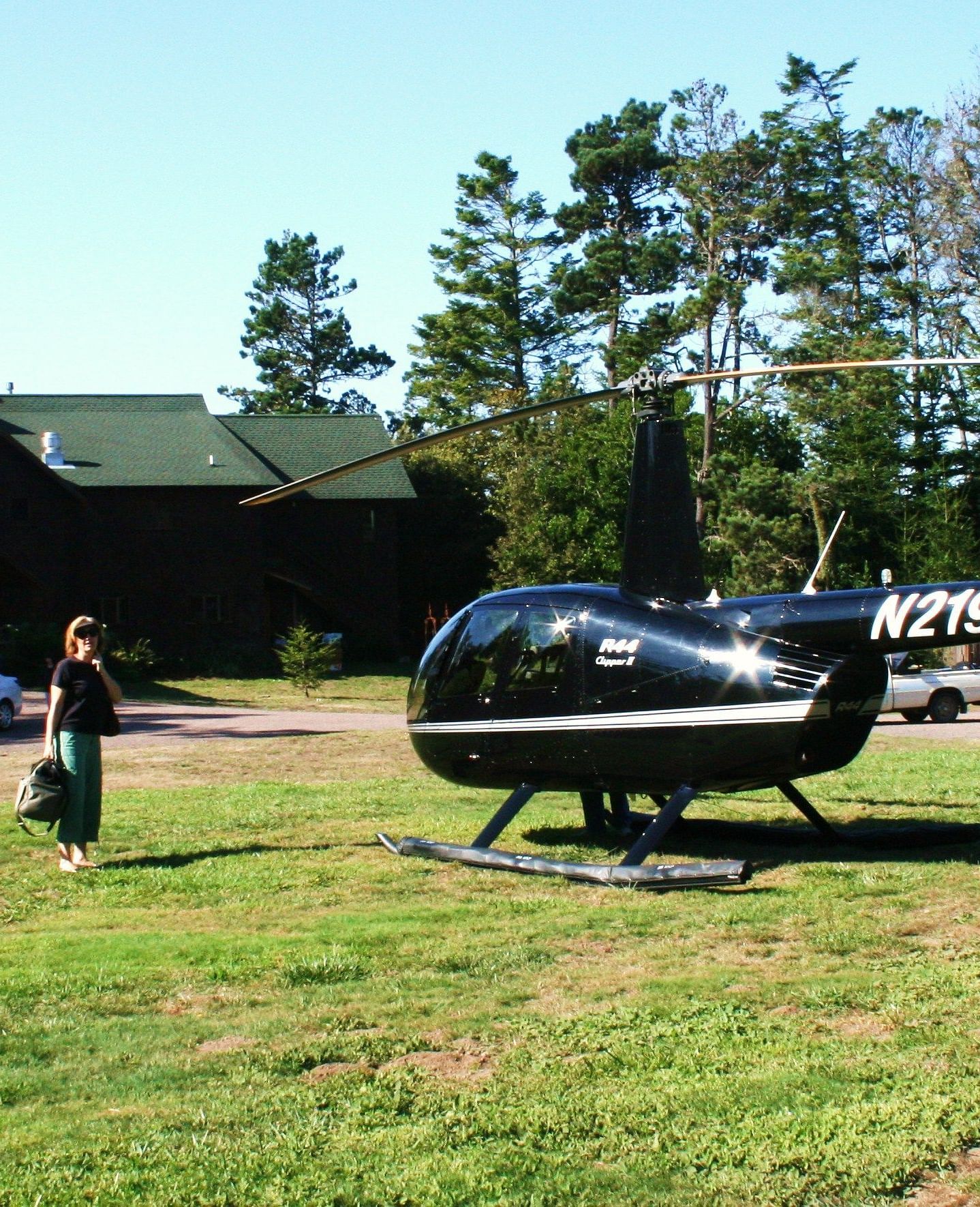

What to Do
Whether you're here for the food, the stunning nature, or just to escape the city, Mendocino has something special for everyone. Our inn's location places you at the heart of it all, surrounded by these beautiful sights and exciting events.
KNOW MORE